Blog home / Highlights along the Trans Canada Trail
by Robin Esrock
Welcome to the world’s longest recreational multi-use path, stitching together hundreds of community trails across 28,000 kilometres (~17k mi). It’s impossible to imagine the Trans Canada Trail in size and scope, never mind the logistics and time it would take to hike or bike the entire length. Consider: if you were to hike 30 kilometres a day (19 mi), it would take you about 26 months to complete it, and if you crossed the United States five times, you still wouldn’t have covered the trail’s total distance. It’s more realistic to approach the Trans Canada Trail as a gigantic, unfinished jigsaw puzzle, one that can be gradually conquered, piece by piece.
Since many of our itineraries take advantage of the adventure and natural beauty found along it, Great Canadian Trails has long supported the Trans Canada Trail. Every self-guided trip that includes a trail section also includes a C$50 donation to the Trans Canada Trail Foundation. This non-profit oversees the ongoing development, maintenance and promotion of the TCT.
If you don’t know where to start, we’ve curated several itineraries that explore some of the trail’s natural, historical, and cultural highlights.
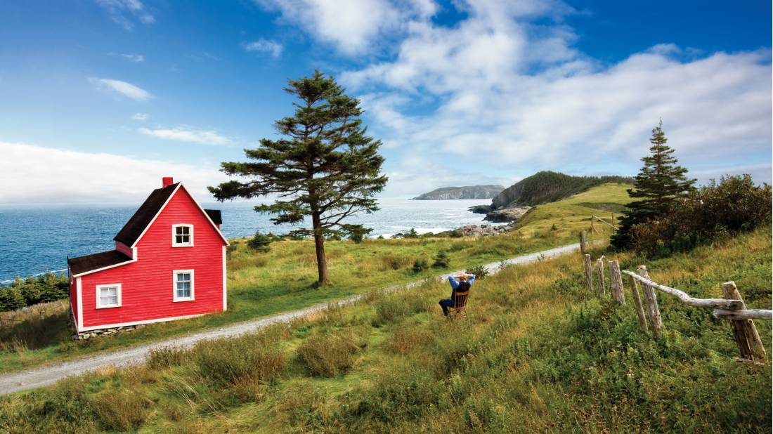
NEWFOUNDLAND & LABRADOR
East Coast Trail
The entire East Coast Trail is encompassed within the Trans Canada Trail, with the Cape Spear section designated as the TCT’s Kilometer Zero. Our unique self-guided East Coast Trail itineraries route along the most easterly sections of Canada as you hike through fishing communities, provincial and national parks, and endless coastal views.
Don’t Miss: The Quidi Vidi Loop in St John’s is a scenic walk with gorgeous views over the old fishing village, the National Historic Site of Signal Hill, and St John’s Harbour.
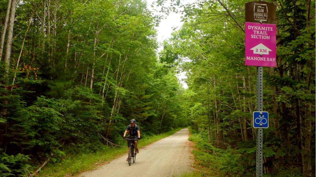
NOVA SCOTIA
Rum Runners Trail
The 119km (74mi) Rum Runners Trail also forms part of the Trans Canada Trail, creating a multi-use recreational route that starts in Halifax and ends in historic Lunenburg. Cut along the south shore of Nova Scotia, the trail crosses communities like Hubbards, Chester and beautiful Mahone Bay, providing access to various scenic and historic sites along the way. The former rail-bed is well sign-posted with information kiosks, mostly flat, hard packed, and forms an important section of a province-wide cycling network. Our 6-day Rum Runners by Bike itinerary covers all of it, offering additional highlights like Peggy’s Cove and the region’s renowned lobster dinners.
Don’t Miss: Take a walking tour around colourful Lunenburg, a UNESCO World Heritage Site, to learn more about its long, unique history. You can also book an excursion on the Blue Nose II, the famous racing schooner that is engraved on the back of the Canadian dime.
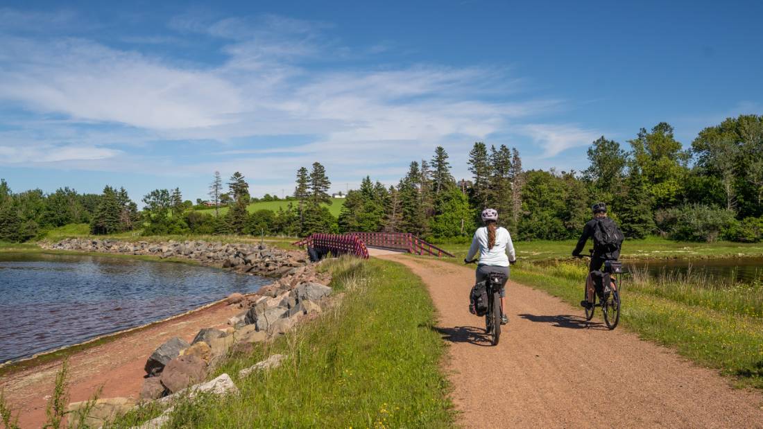
PRINCE EDWARD ISLAND
Confederation Trail
Completed in 2000, the Confederation Trail enabled Prince Edward Island to be the first province to fully complete its section of the Trans Canada Trail. Running tip to tip through Canada’s smallest province, it also provides access to the coast and many communities. The decommissioned rail trail is well-signposted, with frequent information boards and repurposed train stations. Our self-guided cycling trips in PEI curate the most scenic sections of the trail, including Anne of Green Gables country, Greenwich Dunes and the red shores of Prince Edward Island National Park.
Don’t Miss: The Gulfshore Parkway is a paved, 10km (6mi) hiking or cycling route from Cavendish to North Rustico, running alongside protected coastal dunes, historic lighthouses, and windswept, red sandstone beaches.
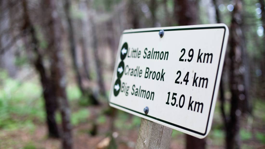
NEW BRUNSWICK
The Fundy Footpath
The Trans Canada Trail traces the east coast of New Brunswick, overlooking the Bay of Fundy in Fundy National Park. A UNESCO Biosphere Region, the Fundy Footpath follows the densely forested trail from the Point Wolfe Trailhead to the trail’s western end at the Big Salmon River. This 50km (31 mi) stretch is renowned for its scenic, rugged coastal beauty and the spectacle of the world’s highest tides (measuring up to 12 metres high) dramatically changing the coastline. While the cliffside path and steep hills present plenty of challenges, hikers also cross the exposed ocean floor during low tide and camp on stunning beaches. GCT’s Fundy Footpath itinerary navigates the tides and route, prepares your campsite meals, and conveniently shuttles your luggage to each campsite along the way.
Don’t Miss: Before leaving New Brunswick, make sure you order at least one lobster or lobster roll, which is proudly and freshly served in restaurants and lobster shacks along the coast.
ONTARIO
Niagara Peninsula
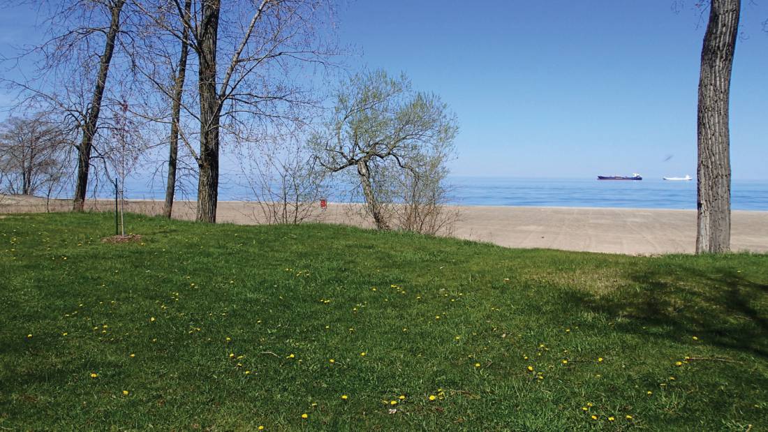
This week-long, self-guided cycling itinerary tracks the Trans Canada Trail as it skirts the shores of Lake Ontario, Lake Erie and the lovely Niagara Peninsula. Starting and concluding in Niagara Falls, the TCT joins up with one hundred kilometres of the Great Lakes Waterfront Trail network, which connects 155 communities along the route. The Friendship Trail, a 16-kilometre (10 mi) stretch of abandoned railway that cuts through the town of Fort Erie, also intersects with the TCT as it rolls through lush countryside, pristine watersheds and charming small villages.
Don’t Miss: In summer, historical reenactors fire their muskets in daily demonstrations inside the National Historic Site of Old Fort Erie, recalling the siege of the fort during the War of 1812 between American and British forces.
QUEBEC
Le P’tit Train du Nord
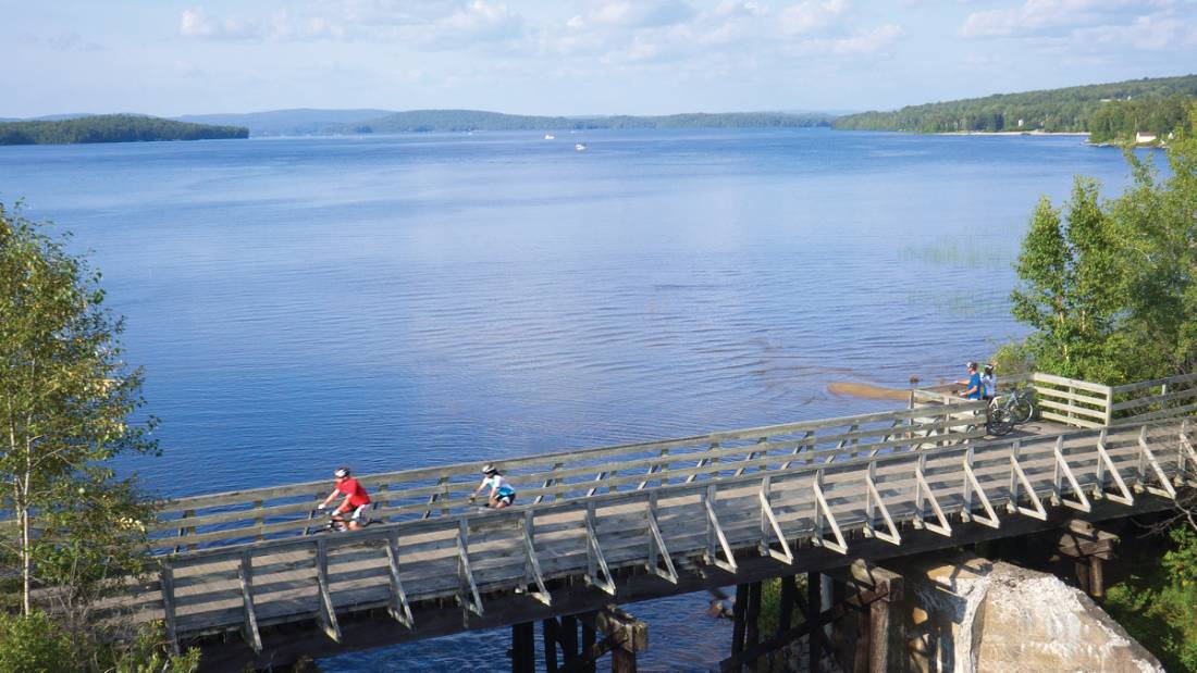
This 240km (150 mi) section of the Trans-Canada Trail is a decommissioned railway line, originally built in the 1890s, running from Mont Laurier to Bois-des-Filion. As a result, the terrain is mainly flat, slicing through forests, small towns, valleys and lakes. Old train stations have been converted into information centres and rest areas, and each town or village ensures you’re never too far away from cafes and bistros. The P’tit Train du Nord rail trail is particularly friendly to families and those seeking a less arduous multi-day cycling challenge. We’ve curated a route between the villages of Saint Jerome and Val David, shuttling your bags ahead so you can stay overnight in colourful communities after your scenic ride through the Laurentians. Don’t Miss: This section of the Trans Canada Trail ushers you straight into Mont Tremblant Ski Resort’s vibrant lakeside pedestrian village.
ALBERTA
Canadian Rockies
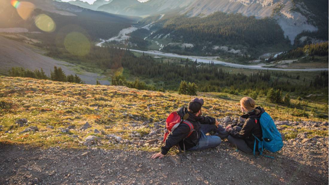
From Edmonton, the Trans Canada Trail splits, heading north and south. The southern trail cuts through the peaks of the Rockies, including the 80-kilometre-long (50 mi) High Rockies Trail, which is particularly rugged and challenging. There’s also a 20-kilometre (12 mi) paved path that follows the TCT adjacent to the Trans-Canada Highway between Banff and Canmore. We’ve curated the most scenic day hikes in and among the national parks of Banff and Jasper.
Don’t Miss: In Kananaskis country, the Prairie View Lookout Trail delivers the contrasting view between the soaring peaks of the Rockies and the rolling flat prairies heading east to Calgary.
BRITISH COLUMBIA
Kettle Valley Rail Trail
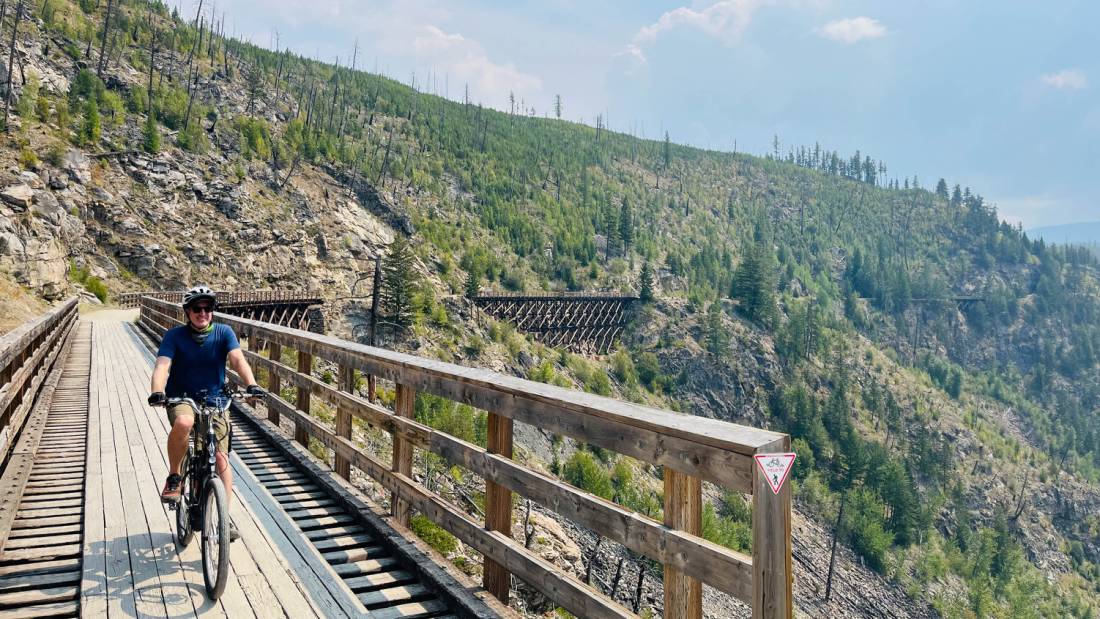
After meandering through the Rockies and forking into two routes heading north and west, The Trans Canada Trail follows the Elk River to slice through the Columbia Mountains and follow the trail of the Kettle River. Here, it becomes part of the Kettle Valley Heritage Trail, a former passenger CPR rail line in the Okanagan. The multi-day cycle trips between Kelowna and Penticton offer sweeping views of Lake Okanagan and Lake Skaha and plenty of time to roll into the vineyards on the highly-rated Naramata Bench.
Don’t Miss: Painstakingly cut into steep cliffs east of Kelowna, the Kettle Valley and Trans Canada Trail include the Myra Canyon Trestles, a 12-kilometre (7.5 mi) trail that passes through 18 impressive wooden bridges and two rock tunnels.
Robin Esrock is the bestselling author of The Great Canadian Bucketlist.